LRT_GraphicsSave_The_Riders_DunesUTV_Crazy
Page 2 of 2 FirstFirst 12
Results 11 to 20 of 20
  1. #11
    Crackerjack Driver AlfaBaz's Avatar
    Join Date
    Apr 2015
    Location
    Roseville, CA
    Posts
    1,200
    Quote Originally Posted by N6EDW View Post
    i remember all the dirt roads leading to caps crossing.
    Yeah, but Capps Crossing is way north of PiPi, and Gold Note Ridge is quite a ways south. Five Corners is more or less at the East end of Gold Note Ridge. Sopiago Creek is south of Gold Note Ridge.

  2. #12
    Skillful Driver Mike621's Avatar
    Join Date
    May 2015
    Location
    Lincoln Ca,
    Posts
    1,675
    Quote Originally Posted by TrailGirl78 View Post
    We totally can!!! Let's plan a trip even for the day that you guys & the Lains can go
    That sounds great, I'll talk to Bob.


    Sent from my iPhone using Tapatalk

  3. #13
    Wholly-Terror Driver Ed & Charlene's Avatar
    Join Date
    Mar 2016
    Location
    Rio Linda,Ca
    Posts
    720
    yeh the last time we where at pipi we came out through caps crossing and home down hwy 50

  4. #14
    Road-Hog Driver TrailGirl78's Avatar
    Join Date
    May 2015
    Posts
    527
    Quote Originally Posted by AlfaBaz View Post
    Yeah, but Capps Crossing is way north of PiPi, and Gold Note Ridge is quite a ways south. Five Corners is more or less at the East end of Gold Note Ridge. Sopiago Creek is south of Gold Note Ridge.
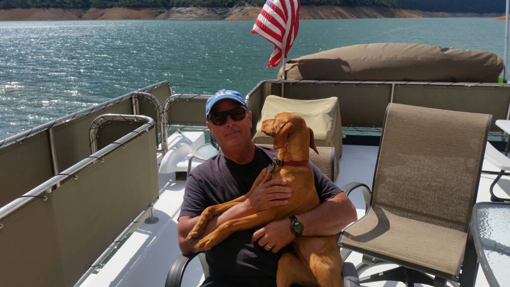
    Sounds like you can totally be the trail guide. Let's get a ride together before it's too hot. Of course you have to bring the doggy ❤️

  5. #15
    Chauffeur Driver
    Join Date
    Jul 2015
    Posts
    105
    Thanks for the pics. Love that area, but last time we went were on quads. Too bad they don't want the SxS there.

  6. #16
    Topnotch Driver Pipelayer's Avatar
    Join Date
    Apr 2015
    Location
    El Dorado Ca.
    Posts
    2,724
    I have gone up there on dirt bikes for many years. Most of the trails are 50" or single track. What's left, you can do in a couple of hours. Elkins is all 50" and under.


    Sent from my iPhone using Tapatalk

  7. #17
    Crackerjack Driver AlfaBaz's Avatar
    Join Date
    Apr 2015
    Location
    Roseville, CA
    Posts
    1,200
    Quote Originally Posted by Pipelayer View Post
    I have gone up there on dirt bikes for many years. Most of the trails are 50" or single track. What's left, you can do in a couple of hours. Elkins is all 50" and under.


    Sent from my iPhone using Tapatalk

    Absolutely true, Jeff. But you can add a little by driving the dirt forest service roads. Actually, by going east from five corners you can get all the way up to Hiway 88 close to Cooks Station.

  8. #18
    Topnotch Driver Pipelayer's Avatar
    Join Date
    Apr 2015
    Location
    El Dorado Ca.
    Posts
    2,724
    They closed that section a few years back Barry, it's closed from just east of five corners to 88 by Hamms station. Now there is only trail 35 on the east side of north south rd. Basically, all you have is the main rd that goes to sopiago rd and back. It may be a twelve mile loop. If you go through the gate on the north side of sopiago rd, you can go to sopiago creek. Not sure but it may be private now. About 5 or six years ago, the forestry went in and closed a bunch of trails and put restrictions on others. Now their new thing is closing it when it rains for more than two days in a row. That's when I stopped going there. There is not enough left to make it worth the trip, besides that getting hassled by the forestry up here.


    Sent from my iPhone using Tapatalk

  9. #19
    Skillful Driver Mike621's Avatar
    Join Date
    May 2015
    Location
    Lincoln Ca,
    Posts
    1,675
    Quote Originally Posted by Pipelayer View Post
    They closed that section a few years back Barry, it's closed from just east of five corners to 88 by Hamms station. Now there is only trail 35 on the east side of north south rd. Basically, all you have is the main rd that goes to sopiago rd and back. It may be a twelve mile loop. If you go through the gate on the north side of sopiago rd, you can go to sopiago creek. Not sure but it may be private now. About 5 or six years ago, the forestry went in and closed a bunch of trails and put restrictions on others. Now their new thing is closing it when it rains for more than two days in a row. That's when I stopped going there. There is not enough left to make it worth the trip, besides that getting hassled by the forestry up here.


    Sent from my iPhone using Tapatalk
    Sounds like forest hill LOL , once the Forestry (AKA Feds) take over pretty much done for. Nice to have the BLM up in the Redding area that cares about OHV riding.


    Can-Am XDS 1000 Turbo.

  10. #20
    Topnotch Driver Pipelayer's Avatar
    Join Date
    Apr 2015
    Location
    El Dorado Ca.
    Posts
    2,724
    Quote Originally Posted by Mike621 View Post
    Sounds like forest hill LOL , once the Forestry (AKA Feds) take over pretty much done for. Nice to have the BLM up in the Redding area that cares about OHV riding.


    Can-Am XDS 1000 Turbo.
    That's my take on it too Mike, our county sheriff took away their law enforcement powers away from them because they were abusing their power. I too, just go to blm but, it's closer for me to go to Nevada.

Page 2 of 2 FirstFirst 12

Posting Permissions

  • You may not post new threads
  • You may not post replies
  • You may not post attachments
  • You may not edit your posts
  •